


z l'Endre 05-11-24

cb8310
User
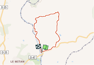

Length
6.7 km

Max alt
121 m

Uphill gradient
103 m
Km-Effort
8.1 km

Min alt
33 m

Downhill gradient
98 m
Boucle
Yes
Creation date :
2024-11-05 13:12:07.194
Updated on :
2024-11-08 08:25:54.431
2h17
Difficulty : Medium

FREE GPS app for hiking
 SityTrail
IGN / Geographical institutes
SityTrail Plus
The world is yours!
About
Trail Walking of 6.7 km to be discovered at Provence-Alpes-Côte d'Azur, Var, Le Muy. This trail is proposed by cb8310.
Description
rando alliant larges pistes et petits sentiers et sans difficultés
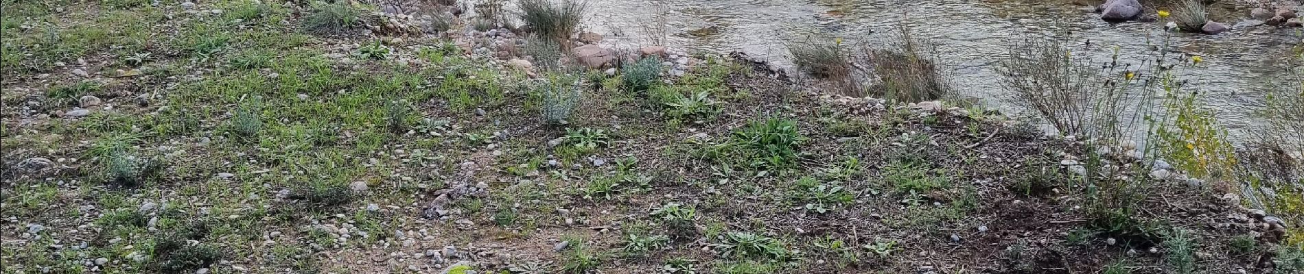
Photos


Positioning
Country:
France
Region :
Provence-Alpes-Côte d'Azur
Department/Province :
Var
Municipality :
Le Muy
Location:
Unknown
Start:(Dec)
Start:(UTM)
305242 ; 4819646 (32T) N.
Comments